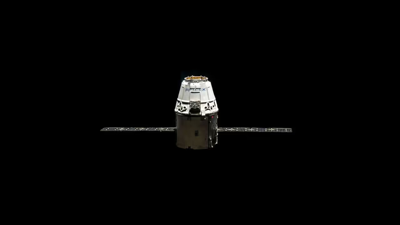
Next-Generation STAN Navigation System Harnesses LEO Satellites, SDR
Inside GNSS has published an article on STAN, Simultaneous Tracking and Navigation, a next-generation low Earth orbit (LEO) technology designed to support today's Global Positioning System (GPS) and compatible systems - and in doing so has highlighted a major opportunity for those working with wideband software defined radio (SDR) platforms.
"Today's vehicular navigation systems couple global navigation satellite system (GNSS) receivers with an inertial navigation system (INS). Low Earth orbit (LEO) satellite signals are a particularly attractive INS aiding source in GNSS-challenged environments," Inside GNSS explains. "Over the next few years, LEO satellites will be abundantly available at favourable geometric configurations and will transmit in several frequency bands, making them an accurate and robust navigation source."
The article goes on to describe a framework which allows a navigating vehicle to navigate using ranging and Doppler measurements taken from LEO satellites - thousands of which are scheduled to be launched over the coming years as part of constellations for communications networks from companies including Boeing, OneWeb, Iridium, Samsung, and SpaceX - when traditional GNNS measurements are unavailable.
The STAN concept is demonstrated in prototype form for both ground- and air-based navigation, both of which used wideband software-defined radios to receive signals from the LEO satellite constellations ready for processing into navigational data. "The ground vehicle was driven along U.S. Interstate 5 near Irvine, California, USA, for 7,495 meters in 258 seconds, during which 2 Orbcomm LEO satellites were available (FM 112 and FM 117)," the magazine explains. "The UAV [unmanned aerial vehicle] flew a commanded trajectory in Irvine, California, USA, over a 155-second period during which 2 Orbcomm LEO satellites were available (FM 108 and FM 116)."
The results are impressive: having cut off traditional GPS signalling, the ground vehicle reduced its navigational error value from 3,729.4 metres to just 192.3 metres over the 7.5 kilometre course; the UAV, meanwhile, went from 123.5 metres to 29.9 metres over a 1.53km course - the latter of which was further improved with the addition of periodically-transmitted satellite position data.
The magazine's article demonstrates that commercial LEO satellites can be used to dramatically improve navigation when traditional GNSS signals are unavailable, but more importantly shows that such improvements are available to all using low-cost off-the-shelf wideband software defined radio platforms - meaning development of STAN and similar systems can be accelerated at a considerably lower cost than fixed-function radio technologies would have allowed.
The full article, which is based on a research paper by Professor Zak M. Kassas, Joshua J. Morales, and Joe J. Khalife and was supported by the Office of Naval Research, is available on Inside GNSS now.